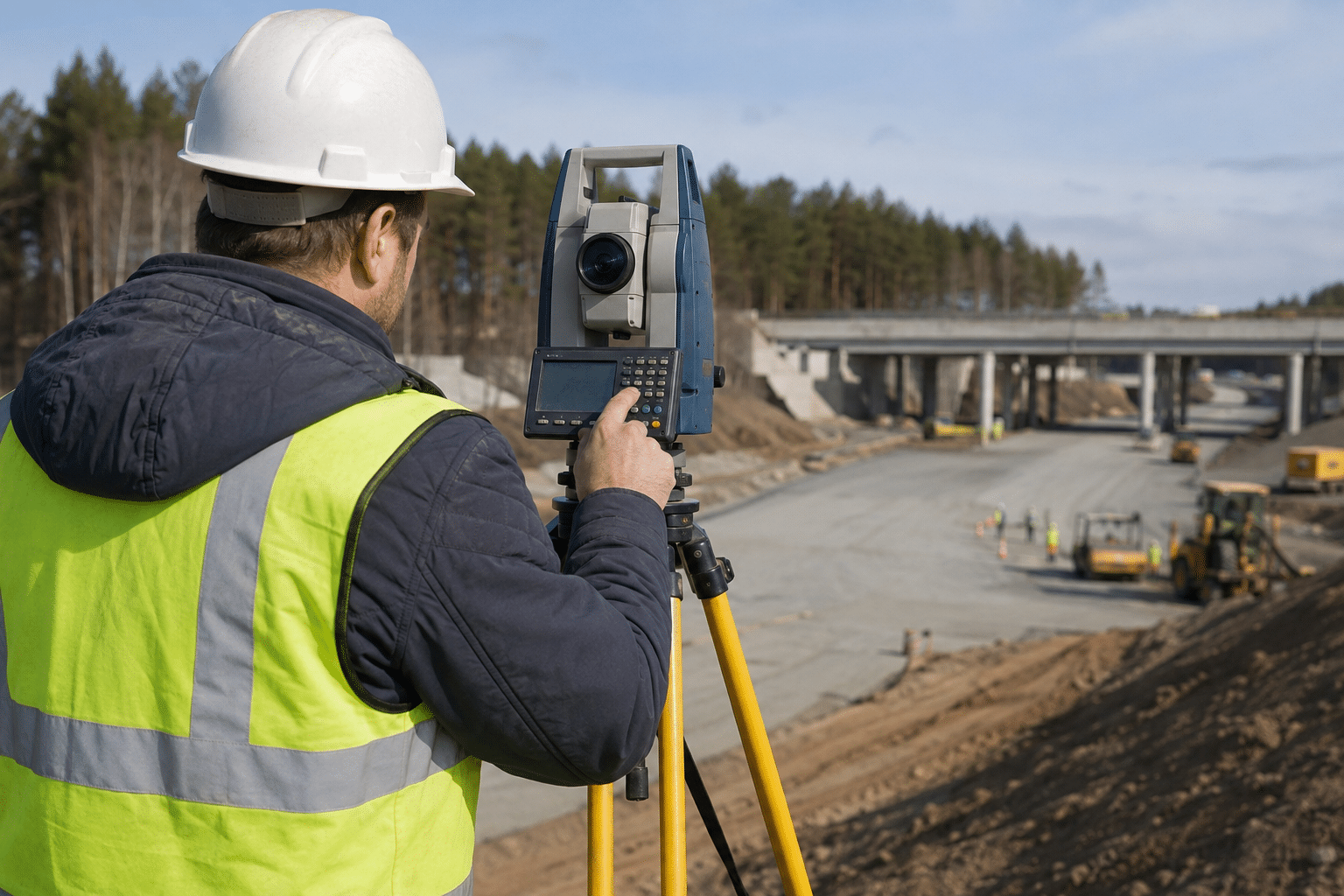
A surveying technician turns measurements taken in the field into information that a surveyor, engineer, contractor, or property professional can use. The work may involve setting up instruments, locating points, checking elevations, recording field notes, and processing data back in the office. It is a mixed field-and-technical role, so the real question for a career changer is whether you are comfortable with early starts, weather, careful measurements, and software-based follow-up.
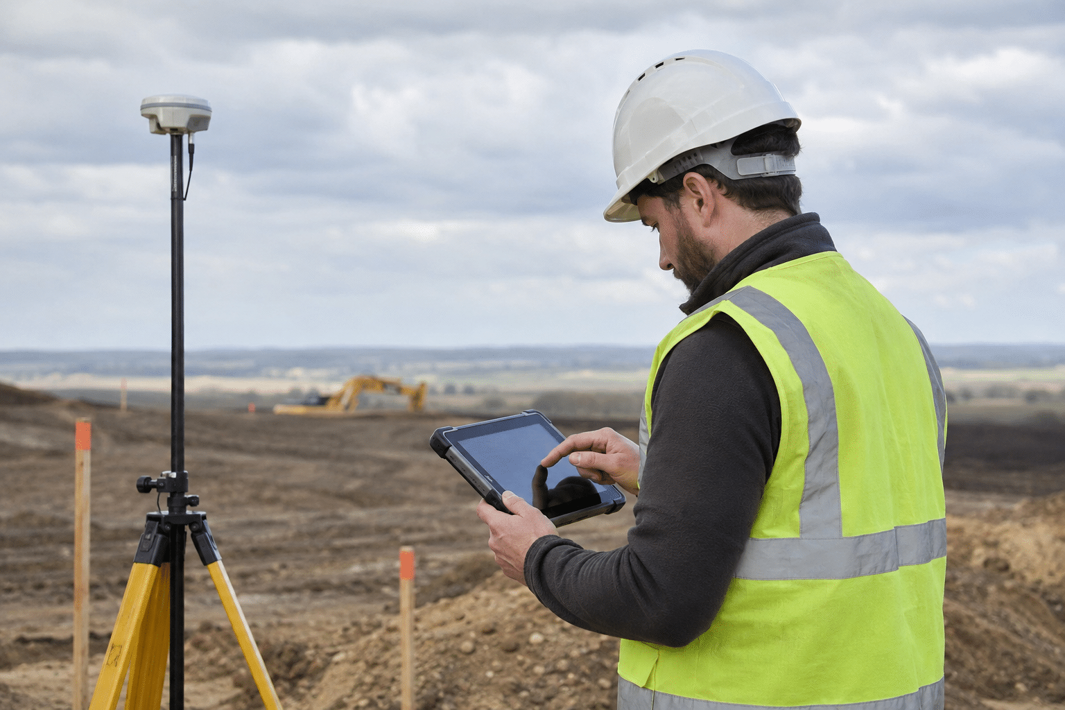
A common project: On a road or subdivision job, the crew may locate control points, collect elevations, flag utility or boundary features, and return to the office to review the data. A rushed setup or an unexplained measurement can create rework for the entire project, which is why field notes and instrument checks matter.
What does a surveying technician do?
Typical duties include:
- Setting up and operating total stations, GNSS receivers, levels, data collectors, and related equipment.
- Locating existing survey markers or helping set new points.
- Recording angles, distances, elevations, and other site information.
- Checking field notes and transferring measurements into CAD, GIS, or survey software.
- Supporting boundary, construction, topographic, utility, roadway, or mapping projects under supervision.
The exact job depends on the employer. A construction-focused technician may spend most of the week staking lines and checking grades. A mapping technician may spend more time processing imagery, databases, or geographic data.
Training and education
The Bureau of Labor Statistics says surveying and mapping technicians typically need a high school diploma or equivalent and moderate-term on-the-job training. Employers may prefer coursework or experience in geometry, trigonometry, drafting, CAD, GIS, or construction technology.
New technicians often start with practical tasks such as carrying and checking equipment, marking points, entering data, and learning field procedures. With experience, they may take on more responsibility for instrument setup, calculations, quality checks, and crew coordination. Licensing requirements that apply to professional surveyors are different from the entry requirements for technicians.
Pay and outlook
In the BLS Occupational Outlook Handbook updated August 27, 2026, surveying and mapping technicians had a median annual wage of $54,240 in May 2025. BLS projects 6% employment growth from 2025 to 2035 and about 6,900 openings per year on average. These figures describe the broader occupation, not every local surveying technician job.
Could it fit a career change after 40?
Surveying can suit someone who wants a technical career with a visible connection to construction and infrastructure. It is less suitable if you need a fully indoor, predictable desk job. Field crews work outdoors in heat, cold, mud, traffic, and uneven terrain. Some roles require early starts, travel, and carrying equipment.
Transferable strengths include attention to detail, practical problem-solving, comfort with tools, clear communication, and the ability to follow a measurement process carefully. Experience in construction, utilities, inspection, GIS, drafting, or field service can help.
Questions to ask before applying
- How much time is spent outdoors versus in the office?
- Which instruments and software does the crew use?
- Will a licensed surveyor supervise the work and provide a training path?
- Are travel, early starts, overtime, or seasonal workload part of the role?
Field work and office work
Surveying technicians often move between two kinds of work. In the field, the priority is a stable setup, a clear line of sight, accurate observations, and good notes. In the office, the priority becomes organized data, correct coordinate systems, clean files, and a result that another person can review. A mistake made outdoors can become a wrong line on a drawing, so technicians learn to check their work before leaving the site.
Construction surveying can involve staking points, checking elevations, locating improvements, and giving a crew information it needs that day. Boundary and topographic work may require more careful research and coordination with a surveyor. Mapping roles may emphasize imagery, databases, GIS layers, or quality control. The title is broad, so ask what the company actually does.
Equipment and technology
Modern crews may use robotic total stations, GNSS receivers, digital levels, data collectors, tablets, drones, CAD, and GIS software. Technology reduces some manual work but does not remove the need for judgment. Equipment still needs to be centered, checked, protected from weather, and used according to the project method. A technician who understands the measurement process can spot a bad setup or an implausible result.
Physical demands and teamwork
Field work may mean early starts, uneven ground, brush, traffic, heat, cold, and long periods standing. Crews carry cases, tripods, stakes, batteries, and personal safety equipment. Communication is constant: the instrument operator, rod person, crew chief, project manager, and site workers need the same point and the same instructions.
How to enter the field
A beginner can look for survey aide, rod person, junior surveying technician, mapping technician, or civil field technician roles. Coursework in geometry, trigonometry, CAD, GIS, or construction can help, but supervised field experience is valuable. Bring examples of careful technical work, such as a map, CAD exercise, measurement project, or equipment-related experience. A driver’s license is often useful because crews travel between sites.
Over time, a technician may take on instrument setup, calculations, crew coordination, office processing, or a specialty such as construction layout or mapping. Some continue their education and work toward professional surveyor licensure, but that is a separate path with state-specific requirements. The first job should be judged by the quality of its supervision and training, not only by the title.
Accuracy is the professional skill
Surveying technicians do not need to pretend that every task is glamorous. Some days involve repeated setups, carrying equipment, checking a point again, or cleaning data that came in with an unclear note. That repetition is how accuracy becomes dependable. A careful technician learns to recognize when a result does not fit the site and raises the question before the information reaches a final plan.
The role can also provide a useful bridge into related work. Experience with field measurements may support a move toward CAD, GIS, construction layout, utility mapping, estimating, or survey crew leadership. The direction depends on education, state rules, employer needs, and the technician’s interests.
A practical decision checklist
Before accepting a position, ask to speak with someone who does the work. Confirm the normal start time, travel radius, equipment carried, outdoor exposure, overtime, and weather policy. Ask how new employees are evaluated and whether a licensed surveyor or experienced crew chief is present on site. Clear answers help you distinguish a genuine training role from a job that expects immediate independence.
Sources
- BLS, Surveying and Mapping Technicians
- BLS, Surveyors
- BLS, Occupational Employment and Wage Statistics
If you are comparing related technical paths, see our GIS technician guide and drafting technician guide.