A GIS technician maintains geographic data and turns it into maps, layers, and information that other people can use. The work may support utilities, planning, engineering, environmental programs, transportation, emergency management, or public agencies. It is computer-based technical work, but accuracy still depends on understanding where the data came from, what coordinate system it uses, and what it can actually support.
GIS technician is a broad job title. One employer may emphasize digitizing and database maintenance. Another may need field data collection, map production, quality checks, or support for engineers and planners. Read the duties carefully instead of assuming every GIS job is the same.

A map can look polished and still be wrong: The technician may find a layer with an outdated coordinate system, a utility line shifted from its surveyed location, duplicate features, or missing metadata. Checking the source, projection, attributes, and update date is part of producing a map that someone can safely rely on.
What does a GIS technician do?
Common tasks include importing data, correcting errors, maintaining attribute tables, updating digital map layers, converting files between formats, and creating maps or simple reports. A technician may compare aerial imagery with field information, check that features are in the right location, or document how a dataset was created.
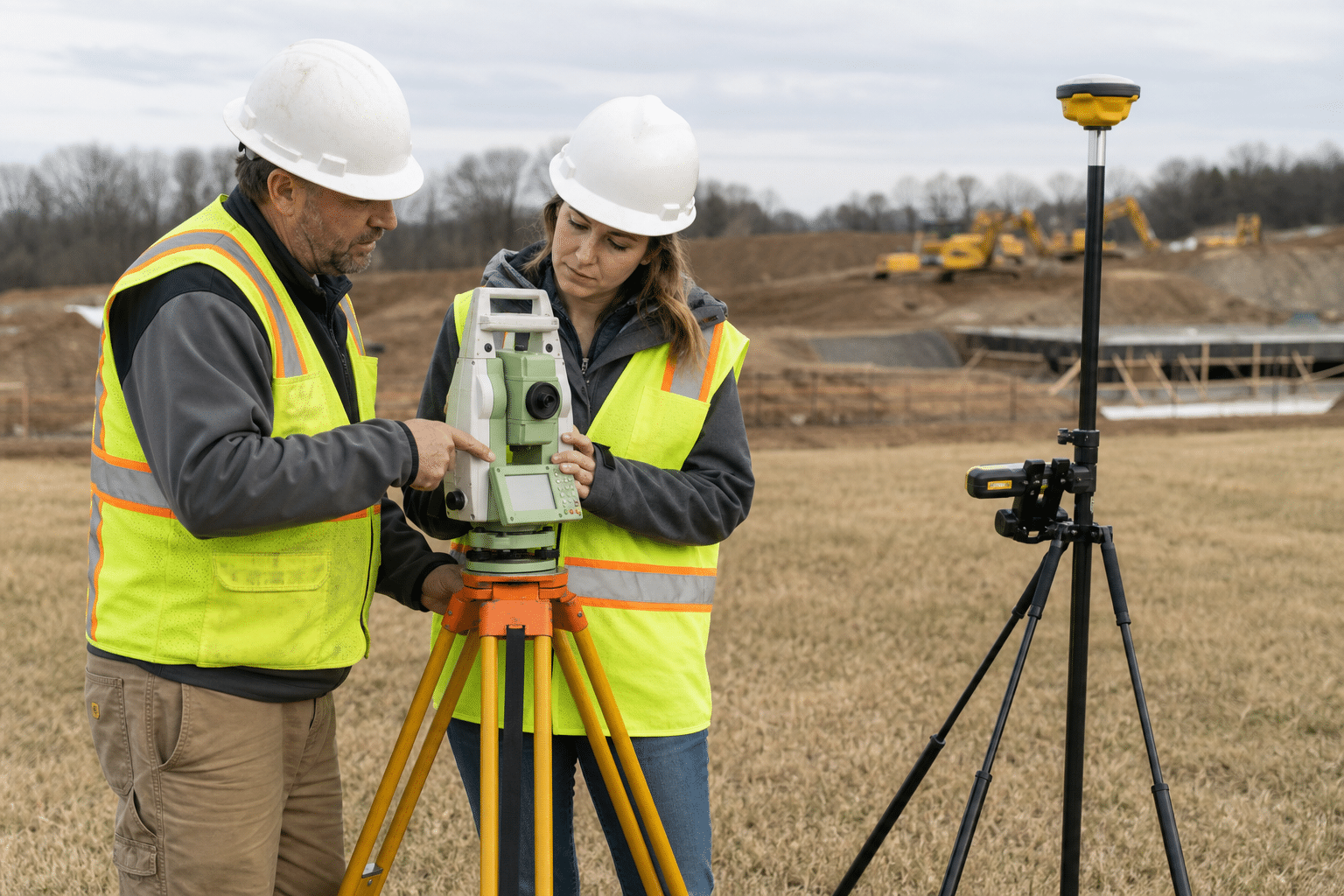
Some roles are mostly desk-based. Others combine office work with GPS collection, site visits, surveying support, or communication with people who supplied the data. The tools vary, but accuracy and organized records are constant requirements.
GIS work overlaps with surveying and drafting, but it is not identical. A surveying technician may focus more on measurements and field instruments, while a GIS technician manages and analyzes location-based data. A drafting technician usually produces technical drawings and plans. Employers can combine these duties, so the job description matters.
Where do GIS technicians work?
Potential employers include local governments, utilities, transportation departments, engineering and environmental consulting firms, telecommunications companies, natural-resource organizations, mapping contractors, and construction or land-development teams. Public-sector jobs may involve parcel data, roads, permits, emergency planning, or infrastructure records. Private-sector roles may support site selection, utility mapping, asset management, or environmental studies.
How do you become a GIS technician?
Many entry-level candidates build skills through a certificate, community-college program, associate degree, or focused self-study. A four-year degree is not automatically required for every technician posting, but education expectations vary by employer and specialty.
Build a small portfolio while learning. It could include a clean map, a documented data-cleaning exercise, a simple analysis, and a short explanation of the sources and assumptions. Practice with coordinate systems, tables, data quality, map layout, and the GIS software named in local job postings. A portfolio gives employers evidence that you can work carefully, not just recognize software names.
O*NET describes Geographic Information Systems Technologists and Technicians as workers who assist with building, maintaining, modifying, or using GIS databases. The Bureau of Labor Statistics also explains that surveying and mapping technicians use GIS technology to assemble, integrate, and display data. These are useful official reference points, but the exact duties and pay benchmark depend on the role an employer actually posts.
What skills matter?
- Careful handling of coordinates, attributes, units, and metadata.
- Comfort learning GIS software, spreadsheets, and basic data workflows.
- Patience for quality control and repetitive corrections.
- Ability to explain a map or data problem to a non-specialist.
- Basic understanding of geography, measurements, and technical documentation.
- Willingness to work either at a computer or occasionally in the field.
Is GIS technician a good second career after 40?
It can be a good fit for someone moving from surveying, drafting, administration, logistics, environmental work, construction, utilities, or data-heavy office work. The transition is easier when you can connect your previous experience to a real industry: a former construction worker may understand site plans, while an office professional may bring strong documentation and spreadsheet habits.
The tradeoffs deserve attention. Some entry-level jobs are heavily computer-based, and the first role may involve data maintenance more than creative mapping. Software changes, so ongoing learning is part of the career. Pay, remote-work options, and advancement vary widely by region and sector.
A useful first GIS project: reconcile two datasets
Suppose a town has a spreadsheet of streetlights and a map of their locations. Some identifiers are missing, several entries appear twice, and installation dates use different formats. A useful beginner project is to reconcile those records while preserving the original files. Describe the rule used for each correction and leave unresolved cases visible. The finished map is only one output; the change log shows whether someone else can trust the work.
Check coordinate reference information before assuming that features are misplaced. Two layers can look close at one scale and still be unsuitable for accurate measurements. Record the source, collection date, units, and intended use. A technician should also distinguish an approximate location from a surveyed one. Displaying many decimal places does not improve the accuracy of the original observation.
What to ask about a GIS hiring exercise
Find out whether the employer expects map layout, editing, database queries, field collection, or analysis. Practice the relevant task with public data and explain your choices in a short note. For a map intended for a meeting, emphasize readable labels and a clear legend. For an asset database, demonstrate identifiers, validation rules, and a way to flag incomplete records. These are different work products even when the same software creates them.
A logistics or administrative background can be useful here. Matching addresses, resolving duplicate accounts, and maintaining inventories already involve data discipline. Show that connection through one specific example, then identify the geographic skills you still need. Avoid presenting yourself as an analyst if your experience is limited to following an editing tutorial.
Judge an offer by the data you will own
Ask who checks edits before they enter the shared database, how mistakes are reversed, and whether the organization maintains metadata. Clarify whether field devices, travel expenses, and software access are provided. A temporary mapping contract may build experience, but ask what happens when the conversion project ends. For a permanent role, find out whether there is time to learn queries, automation, or field methods alongside routine updates. That detail helps distinguish a first step with room to develop from a position consisting almost entirely of repetitive corrections.
Bottom line
A GIS technician keeps location-based information accurate and usable. It is a practical technical path for adults who enjoy maps, organized data, and problem solving, especially when they choose a sector where their previous experience already has value.