A surveying technician collects and processes measurements used for land, construction, roads, utilities, mapping, and property work. The job may split time between field crews and office software, with early starts, weather, equipment checks, and careful notes. The title can overlap with survey aide or instrument operator, so the instruments, data responsibilities, and supervision should be clear.
The role is practical and technical, but the title covers several work settings. Some technicians spend most of their time outside with a field crew. Others process survey data, prepare CAD drawings, or support mapping projects. Read the duties carefully before deciding whether a position matches what you want.
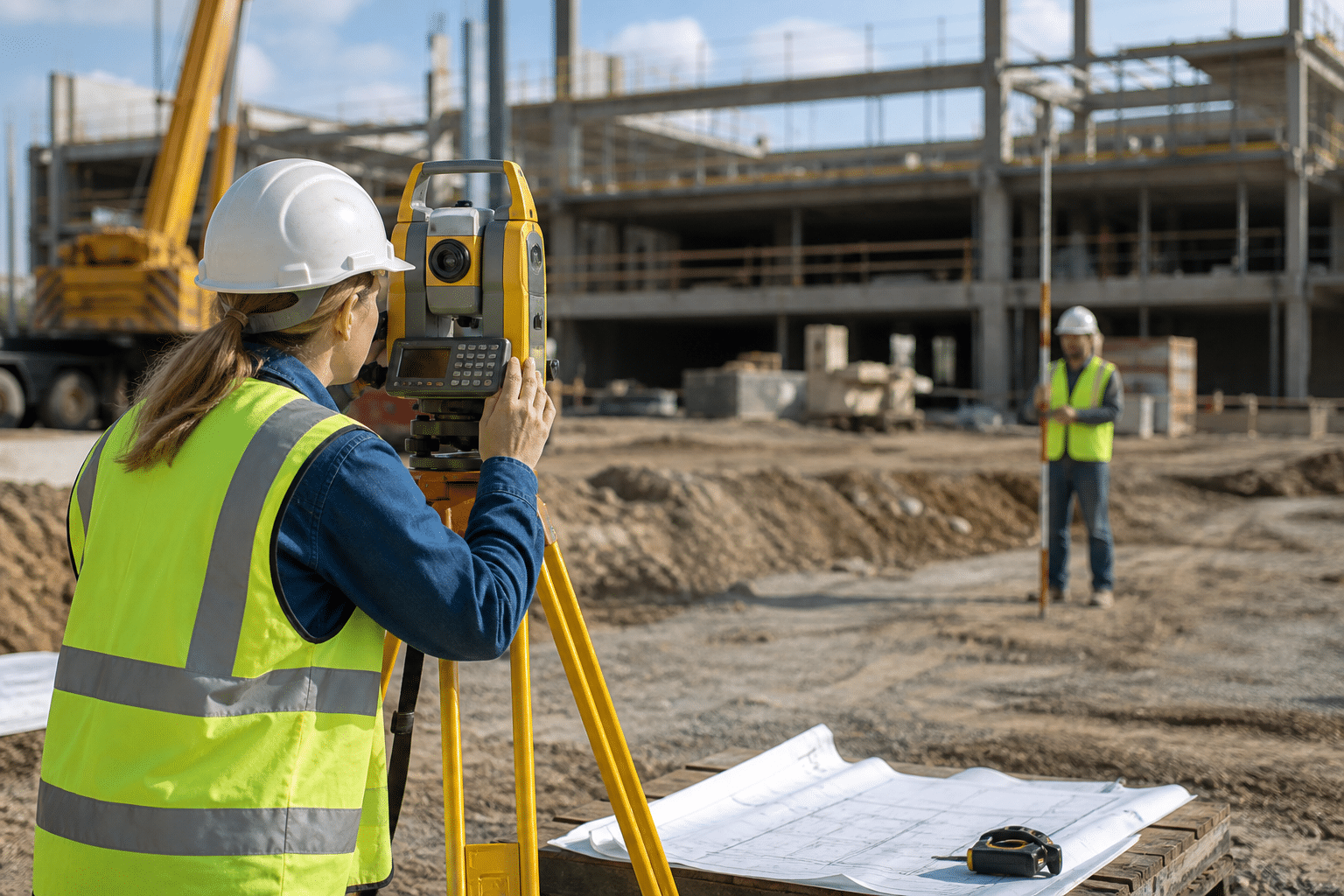
A clean map begins with a reliable setup: The technician confirms control points, instrument position, height measurements, field codes, and site conditions before collecting points. If one reference is wrong, the error can travel through the map and create rework for the crew that uses it later.
What does a surveying technician do?
Typical work includes setting up total stations and GNSS receivers, measuring angles, distances, and elevations, marking construction layout points under direction, collecting boundary or topographic information, recording field notes, checking measurements, downloading data, and helping prepare CAD drawings or maps.
- Set up and check total stations, GNSS/GPS receivers, and data collectors.
- Measure points, elevations, angles, and distances on the ground.
- Collect boundary, topographic, utility, roadway, or as-built information.
- Maintain equipment, batteries, tripods, and control points.
- Process field data and flag readings that need review.
Construction layout can be fast and deadline-driven. Boundary work may require careful records and research. Topographic and mapping work may include more CAD or GIS processing.
Surveying technician versus related jobs
| Role | Main focus | Key distinction |
|---|---|---|
| Surveying technician | Field measurements and survey data | Supports collection, checking, and processing |
| Licensed land surveyor | Professional survey responsibility | Signing authority depends on jurisdiction |
| Civil engineering technician | Engineering drawings and project support | Often works from designs and specifications |
| GIS analyst | Geographic databases and analysis | More office and data focused in many workplaces |
| Construction estimator | Quantities, costs, and bids | Uses plans and measurements to price work |
Read our guides to construction estimator work and quality control inspector careers if you prefer plans, documentation, or inspection over field measurement.
Tools and skills that matter
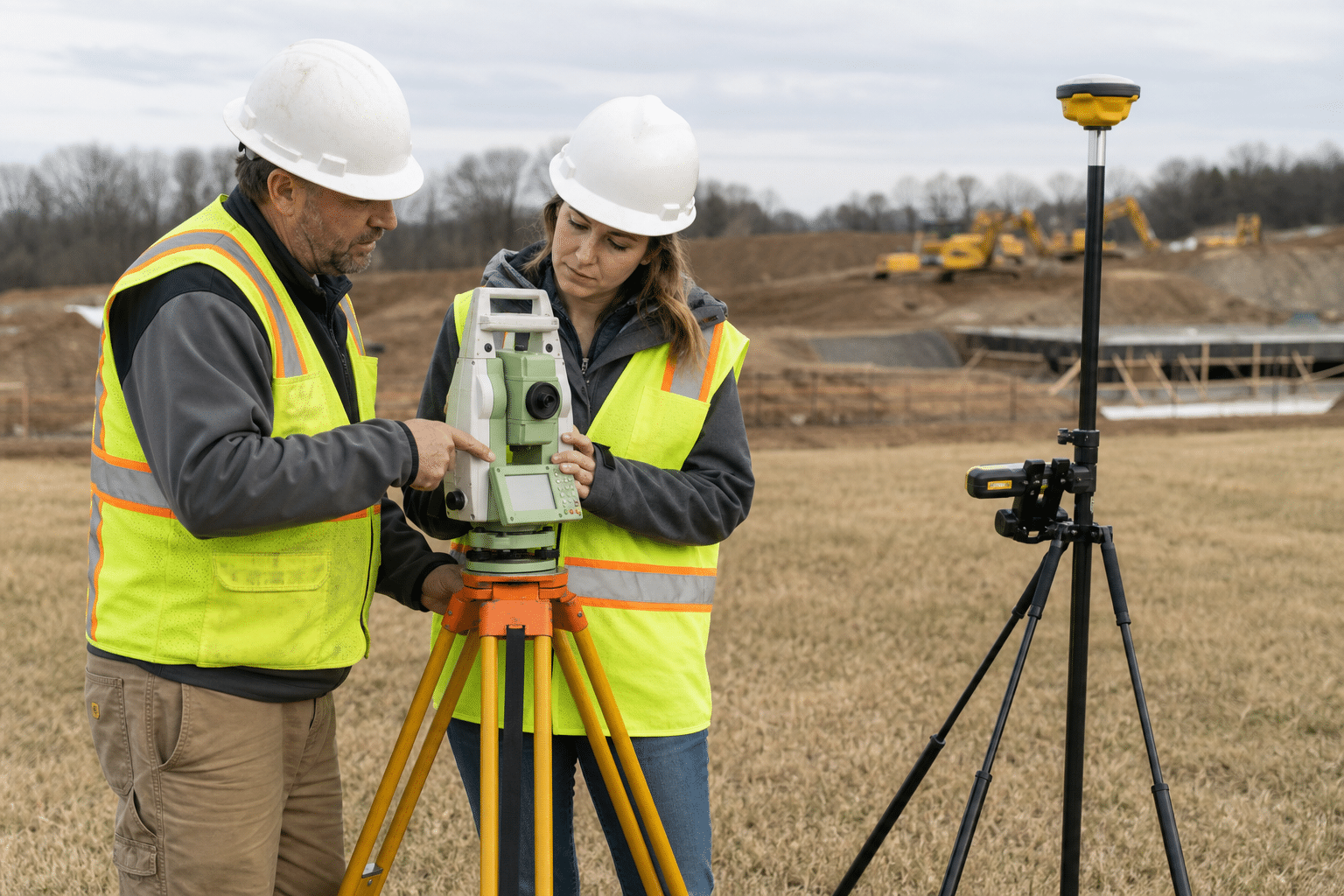
Modern equipment can make the work more efficient, but good field habits still matter. A technician should set up equipment on stable ground, protect it from weather, follow control procedures, and recognize when a reading does not make sense.
- Basic geometry, trigonometry, and measurement units.
- Careful setup and leveling of total station or GNSS equipment.
- Data-collector menus, point codes, and file handling.
- Reading site plans and recognizing control points.
- CAD or GIS basics for office processing.
- Accurate field notes and repeat checks.
- Clear communication with surveyors, engineers, contractors, and property owners.
Laser scanners, drones, and machine-control systems appear in some firms. They are useful additions, not proof that every surveying technician job requires advanced drone or coding skills.
Training and entry routes
The BLS profile lists a high school diploma or equivalent as the typical entry education for surveying and mapping technicians, with moderate-term on-the-job training. Some employers hire helpers and teach equipment use in the field. Others prefer a certificate, associate degree, or prior construction experience.
Look for programs that combine surveying practice with CAD, GIS, construction plans, and field safety. A short class can introduce equipment, but repeated setup and measurement practice builds confidence. Search Apprenticeship.gov’s occupation resources and local survey firms.
Do not confuse technician training with becoming a licensed surveyor. Requirements for professional licensure, signing, or sealing work vary by state and task. Confirm the rules with the relevant state board or employer.
Surveying technician pay and outlook
BLS reports the following figures for the broader Surveying and Mapping Technicians category. It is directly relevant, but individual jobs still vary by region, experience, project type, and overtime.
| BLS category | May 2025 median pay | 2025 jobs | 2025-35 projection |
|---|---|---|---|
| Surveying and Mapping Technicians | $54,240 | 58,800 | 6% growth |
BLS projects about 6,900 openings per year over the decade. The median is not a starting wage. It also does not tell you whether a job includes travel, per diem, seasonal work, or overtime. Ask how much time is spent in the field and how raises work after equipment or CAD training.
Work environment and safety
Survey crews work around roads, active construction, uneven ground, traffic, utility work, and changing weather. Office processing may be quieter, but field deadlines can shape the schedule. A crew may start early to avoid heat or coordinate with paving, excavation, or concrete work.
Safety depends on the site. High-visibility clothing, traffic controls, safe equipment placement, communication with operators, and awareness of overhead or underground hazards may all matter. The employer’s orientation and procedures control what you are authorized to do.
The job can be physically active without being heavy construction all day. You may carry tripods, rods, and batteries, walk over rough ground, and stand for long periods. Ask about travel and terrain when comparing positions.
Is surveying a good career change after 40?
Surveying can suit someone who wants a mix of outdoor work, technology, and measurable results. Construction experience, drafting, mapping, equipment operation, or careful documentation can be useful starting points.
The best test is a conversation with a local survey firm or a short introductory course. Ask to shadow a crew if possible. Find out whether entry-level hires spend more time carrying equipment, collecting points, drafting, or driving between sites. Use our career-change roadmap after 40 to compare the training time with your current obligations.
Questions to ask about a surveying job
- Is the position field, office, or a fixed mix of both?
- Which total station, GNSS, CAD, or GIS systems are used?
- How much travel and early-start work is normal?
- Will a senior surveyor train and review the work?
- What are the local requirements for advancement toward surveyor licensure?
Bottom line
Surveying technician work turns careful measurements into useful information for construction, mapping, and land projects. It can be an accessible technical entry point for someone willing to learn equipment and field procedures. Compare the real schedule, outdoor demands, training plan, and advancement rules in local postings, then use the BLS category as a grounded reference.
Related guides: Tool and Die Maker: Duties, Training, Pay and Career Fit and Tower Technician: Duties, Training, Pay and Career Fit.
Sources
- BLS: Surveying and Mapping Technicians
- U.S. Department of Energy: Survey Technician
- Apprenticeship.gov: Occupations
- OSHA: Machine guarding overview
\n
Reviewed September 3, 2026: Surveying technician work can combine field measurements, GPS, mapping, construction layout, and office processing. Check the balance before choosing a program. See construction estimating for another technical construction path.
\n